
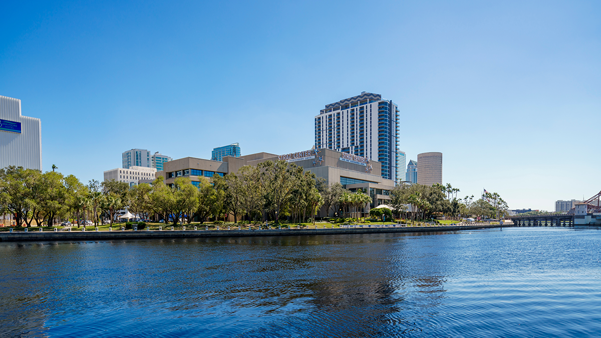
Tampa Straz Center for the performing arts as seen from across the Hillsborough River in Tampa, Florida. (By Felix Mizioznikov for AdobeStock)
Key Points
Researchers from the FAMU-FSU College of Engineering and the University of Wisconsin-Madison’s Center for Sustainability and the Global Environment analyzed land-use change in Florida’s Hillsborough River Watershed from 2000 to 2023 and projected trends through 2050.
They found that urban expansion of more than 30% since 2000 has already cost the region an estimated $450 million in ecosystem services, including flood mitigation, carbon storage and water quality.
If current development trends continue, the study projects urban land could cover nearly half the watershed by 2050, with cumulative losses surpassing $1 billion.
The research, led by Florida State University doctoral candidate Fahad Hasan under Professor Gang Chen, was published in the Springer Nature journal Earth Systems and Environment in December 2025.
Its authors say the findings provide Florida planners with a data-driven roadmap for balancing growth and conservation.
Florida’s rapid growth is reshaping more than its skylines. A new study from the FAMU-FSU College of Engineering shows it’s also reshaping the natural systems that filter water, store carbon and protect communities from flooding.
Florida is one of the fastest-growing states in the country, and much of that growth is replacing wetlands, forests and agricultural land with rooftops and pavement.
The findings give planners and policymakers a data-driven way to weigh economic growth against environmental costs as the state continues to develop.
The research was led by Fahad Hasan, a doctoral candidate at Florida State University and the joint college’s Department of Civil and Environmental Engineering, working under the supervision of Professor Gang Chen of the FAMU-FSU College of Engineering. Yashar Makhtoumi, a postdoctoral researcher at the University of Wisconsin-Madison’s Center for Sustainability and the Global Environment, also contributed to the research. The interdisciplinary team combined engineering, environmental science and data modeling to study the watershed.
“Florida is one of the fastest-growing states in the country, and many natural areas such as wetlands, forests and agricultural lands are being converted into urban developments,” Hasan said. “We want to better understand what these changes mean not only for the environment but also for the benefits that people receive from nature, such as flood protection, water quality improvement and carbon storage.”
The team chose the Hillsborough River Watershed, a Tampa Bay-area region that has seen significant urban growth in recent decades, as a case study for how land-use shifts affect both ecosystems and the people who depend on them.
The study, “Impact of Land Use and Land Cover Changes on Ecosystem Services: A Multi-Module InVEST-LCM Analysis,” was published in Earth Systems and Environment.


How Did Researchers Measure the Impact of Urban Growth?
The team used satellite data and computer modeling to build what Chen described as a “before, present and future” picture of the watershed.
“We essentially created a before, present and future picture of the watershed,” Chen said. “First, we used satellite data to map how the landscape changed between 2000 and 2023. We identified where forests, wetlands, croplands and urban areas expanded or declined over time.”
Researchers used TerrSet’s Land Change Modeler alongside the InVEST modeling suite to track how those land-use shifts affected six ecosystem services: carbon storage, water yield, flood mitigation, nutrient retention, sediment export and recreational visitation.
“We projected what the watershed may look like in 2050 if current development trends continue,” Chen said. “This allowed us to estimate how future urban growth could influence both environmental conditions and the economic value of the services provided by nature.”

What Did the Study Find About Ecosystem Losses in Florida?
Between 2000 and 2023, urban land in the watershed expanded by more than 30%. As development replaced cropland, wetlands and forests, carbon storage fell nearly 12% and the land’s ability to retain stormwater runoff dropped close to 5%. Sediment export, a measure tied to water quality, rose by more than 9%.
Altogether, the researchers estimate the watershed lost about $450 million in ecosystem service value during that period.
The 2050 projections are steeper. If development trends hold, urban land could cover nearly half the watershed, pushing cumulative ecosystem service losses past $1 billion.
The researchers say those numbers point to an opportunity as much as a warning.
“With thoughtful planning, we can have thriving cities and healthy natural systems,” Hasan said.
Why Do Wetlands and Forests Matter for Flood Protection?
Florida’s forests and wetlands do more than add scenery. They filter water, store carbon, reduce flooding and support outdoor recreation for millions of residents and visitors.
“Wetlands act like natural sponges,” Hasan said. “During heavy rainfall, they store and slow down water that would otherwise contribute to flooding. Our study found that urban growth has reduced the watershed’s ability to retain runoff while increasing flood volume and sediment movement.”
Without proactive planning, Hasan said, communities risk losing those functions before they’re understood.
“Natural landscapes provide valuable services that often go unnoticed until they are lost,” he said. “Wetlands, forests and other natural areas help absorb stormwater, reduce flooding, store carbon and improve water quality.”

How Can Florida Balance Growth With Conservation?
The researchers say the study offers planners a tool for identifying where conservation and development can coexist.
“This research helps Florida by identifying areas where conservation and smart growth can go hand in hand,” Hasan said. “When planners and decision-makers know which areas provide the greatest environmental benefit, they can make informed choices that support both the economy and the environment for generations to come.”
Chen said the modeling approach gives communities a way to weigh trade-offs before they build.
“By identifying where changes are occurring and estimating their long-term impacts, planners can prioritize areas for conservation, restoration or smarter development,” Chen said. “This information can help communities maintain important ecosystem functions while still accommodating future growth.”
What’s Next for This Research?
Chen said the team plans to model specific conservation and development scenarios next.
“One important next step is evaluating different development and conservation scenarios,” Chen said. “For example, we can examine how protecting wetlands, expanding green infrastructure or implementing conservation policies may influence future ecosystem services.”
He also wants to fold population growth and socioeconomic data into future versions of the model.
“We also hope to incorporate additional factors such as population growth and socioeconomic development into future analyses,” Chen said. “These efforts can help provide more comprehensive tools for policymakers and resource managers as they work to build sustainable and resilient communities across Florida and beyond.”
The research was made possible by major support from the USDA Forest Service and the US Fish and Wildlife Service, underscoring the importance of investing in science that safeguards the future of Florida’s natural resources.
Editor’s Note: This article was edited with a custom prompt for Claude Sonnet 5, an AI assistant created by Anthropic. The AI optimized the article for SEO/GEO discoverability, improved clarity, structure and readability while preserving the original reporting and factual content. All information and viewpoints remain those of the author and publication. This article was edited and fact-checked by college staff before being published. This disclosure is part of our commitment to transparency in our editorial process. Last edited: 08/26/2026.
RELATED ARTICLES
Repurposing straw lets farmers grow more food with less water and fertilizer
New climate model helps researchers better predict water needs
Researchers Convert Food Waste to Sustainable Energy Using Microwave Technology
FAQ
Researchers from the FAMU-FSU College of Engineering and the University of Wisconsin-Madison studied how urban development between 2000 and 2023 affected natural ecosystem services in Florida’s Hillsborough River Watershed, and projected how continued growth could affect the watershed through 2050.
The study estimates that urban expansion between 2000 and 2023 cost the Hillsborough River Watershed about $450 million in ecosystem services such as flood protection, carbon storage and water quality. Researchers project cumulative losses could exceed $1 billion by 2050 if current development trends continue.
The Hillsborough River Watershed is located in west-central Florida in the Tampa Bay region. It has experienced significant urban growth over the past two decades, making it a case study for how development affects natural ecosystems statewide.
The study was led by Fahad Hasan, a doctoral candidate at Florida State University and the FAMU-FSU College of Engineering, Department of Civil and Environmental Engineering, under the supervision of Professor Gang Chen of the FAMU-FSU College of Engineering. Yashar Makhtoumi, a postdoctoral researcher at the University of Wisconsin-Madison’s Center for Sustainability and the Global Environment, also contributed to the research.
The team analyzed six ecosystem services: carbon storage, water yield, flood mitigation, nutrient retention, sediment export and recreational visitation. They used satellite data and modeling tools, including TerrSet’s Land Change Modeler and the InVEST software suite, to measure changes in these services over time.
The study, “Impact of Land Use and Land Cover Changes on Ecosystem Services: A Multi-Module InVEST-LCM Analysis,” was published in the Springer Nature journal Earth Systems and Environment.