
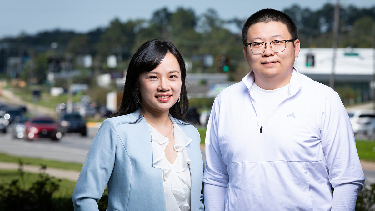
Qianwen (Vivian) Guo, Ph.D., (left), assistant professor of civil and environmental engineering at FAMU-FSU College of Engineering, and doctoral student Jiaqing Lu pose next to West Tennessee Street near Proctor Honda in Tallahassee, Florida on October 15, 2026. The pair is part of a team developing GeoXAI, a new tool that uses artificial intelligence and geographic data to reveal where and why crashes occur, giving transportation agencies the insight they need to target safety solutions with precision. (Scott Holstein/FAMU-FSU College of Engineering)
Key Points
Researchers at the FAMU-FSU College of Engineering, the joint engineering college of Florida A&M University and Florida State University, developed GeoXAI, an artificial intelligence framework that predicts where traffic crashes are likely and explains why risk differs by location.
The study was led by Assistant Professor Qianwen (Vivian) Guo and lead author Jiaqing Lu and published in October 2026 in the journal Accident Analysis & Prevention.
The team analyzed more than 1 million Florida crashes from 2023 and 2024 and found that factors such as intersection density, traffic volume and neighborhood compactness affect crash risk differently from one neighborhood to the next. The findings could help transportation agencies target safety improvements to the specific places that need them instead of applying one strategy statewide.
Every day, drivers across Florida face risks on the road. But what if communities could pinpoint the causes of traffic crashes and prevent them before they happen?
That’s the goal behind GeoXAI, a new tool developed by researchers at the FAMU-FSU College of Engineering, the joint engineering college of Florida A&M University and Florida State University. GeoXAI uses artificial intelligence and geographic data to reveal where and why crashes occur, giving transportation agencies the insight they need to target safety solutions with precision.
The team published its findings in the October 2026 issue of the journal Accident Analysis & Prevention, in a study titled “Measuring Nonlinear Relationships and Spatial Heterogeneity of Influencing Factors on Traffic Crash Density Using GeoXAI.” The paper shows how the tool could help communities across Florida make their roads safer.
The study is led by Qianwen (Vivian) Guo, an assistant professor of civil and environmental engineering at the FAMU-FSU College of Engineering. Guo was recently named a 2026 Engineering Rising Star by the Academy of Science, Engineering and Medicine of Florida (ASEMFL) for her research accomplishments and leadership.
What is GeoXAI?
Guo and her team developed a new approach to examine crash patterns across Florida, focusing on the causes and locations of traffic incidents.
“Our research investigates why some areas experience more traffic crashes than others and whether those relationships vary across locations,” Guo said. “We developed a framework called GeoXAI, which combines artificial intelligence and geographic information. The goal is to predict where crashes are more likely and explain why risk factors may differ by location.”
The researchers analyzed data from more than 1 million crashes in 2023 and 2024, studying patterns at the census-tract level. They found that neighborhood compactness, intersection density, traffic volume and roadway characteristics have complex, location-specific effects on crash risk, especially in major urban areas. In extremely dense areas such as Miami, the study found sharply elevated crash risk tied to heavy pedestrian activity and complex roadways.
Why do crash risks differ from one neighborhood to another?
“Traffic crashes are influenced by many factors—including roadway characteristics, the built environment, and socioeconomic conditions—but these relationships are not the same everywhere,” Guo said. “Crash factors can differ significantly from one neighborhood to another. This shows us we need to understand local variations instead of applying a one-size-fits-all approach.”
What makes GeoXAI different from traditional crash analysis?
Traditional statistical approaches require researchers to define relationships in advance and often apply a single model to every location, overlooking local differences.
“Most tools focus on either complex patterns or local differences—but not both,” Guo said. “GeoXAI bridges that gap, giving us detailed, location-specific insights that other methods miss.”
Guo said the study is among the first to use geospatial explainable artificial intelligence to analyze traffic crashes.
“Most tools focus on either complex patterns or local differences—but not both. GeoXAI bridges that gap, giving us detailed, location-specific insights that other methods miss.” —Vivian Guo, Ph.D.
The framework pairs automated machine learning (AutoML), which selects and tunes a high-performing predictive model with minimal manual setup, with GeoShapley, a method that explains why crash risk is higher in specific locations. Previous studies examined either complex relationships or location differences. GeoXAI does both in one framework, showing which factors, such as road design or traffic volume, raise crash risk in each area. It can also process large datasets quickly and return precise, location-specific results.
How could transportation agencies use GeoXAI?
“The most important point is that traffic safety is not the same everywhere,” said Jiaqing Lu, the study’s lead author. “Crash factors can differ between neighborhoods. Our research offers a way to identify these local differences, rather than treating every area as if conditions are the same.”
The framework could help transportation agencies, including the U.S. Department of Transportation and local partners, pinpoint areas with the highest safety needs. By identifying where and why crash risks are elevated, agencies can design strategies tailored to each community, such as improved pedestrian infrastructure, education campaigns or enhanced traffic monitoring.
“We envision agencies using this analysis as a screening and decision-support tool,” Lu said. “Instead of applying the same strategy everywhere, agencies can identify specific areas where roadway, built environment, or socioeconomic factors raise crash risk and then focus their efforts accordingly.”
Transportation officials and practitioners have shown interest in the research for its potential to identify location-specific crash risks and support more detailed safety planning. Agencies have not yet formally adopted the approach, but these discussions could lead to real-world applications in safety education, pedestrian improvements and traffic monitoring.
Who conducted the GeoXAI research?
The research team includes lead author Jiaqing Lu, corresponding author Qianwen (Vivian) Guo and co-authors Ziqi Li and Lei Han, with collaborators from Florida State University and the University of Central Florida.
The research was supported in part by the U.S. National Science Foundation (NSF) and the Advancing Community-Centric Transportation Systems (ACTS) Center, a U.S. Department of Transportation-funded research center housed at the FAMU-FSU College of Engineering.
Editor’s Note: This article was edited with a custom prompt for Claude Opus 5.5, an AI assistant created by Anthropic. The AI optimized the article for SEO/GEO discoverability, improved clarity, structure and readability while preserving the original reporting and factual content. All information and viewpoints remain those of the author and publication. This article was edited and fact-checked by college staff before being published. This disclosure is part of our commitment to transparency in our editorial process. Last edited: Oct. 27, 2026.
RELATED ARTICLES
Engineering Researchers Preserve Florida’s Heritage Sites while Streamlining Transportation Projects
FAMU-FSU Transportation Engineering Students Win International Chapter Momentum Award
Making Traffic Safer: Team Uses Artificial Intelligence To Improve Intersection Safety
FAQ
GeoXAI is a geospatial explainable artificial intelligence framework developed by researchers at the FAMU-FSU College of Engineering in Tallahassee, Florida. It combines automated machine learning with a method called GeoShapley to predict where traffic crashes are more likely and explain which local factors drive that risk.
GeoXAI was developed by a team led by Qianwen (Vivian) Guo, an assistant professor of civil and environmental engineering at the FAMU-FSU College of Engineering, with lead author Jiaqing Lu and co-authors Ziqi Li and Lei Han. The study appeared in the October 2026 issue of Accident Analysis & Prevention.
Research using GeoXAI found that roadway characteristics, the built environment and socioeconomic conditions affect crash risk differently in different places. Factors such as intersection density, traffic volume and neighborhood compactness had complex, location-specific effects on Florida crashes, particularly in large urban areas such as Miami.
Traditional statistical models require researchers to define relationships in advance and often apply one model everywhere. GeoXAI captures both complex nonlinear patterns and differences between locations in a single framework, producing location-specific explanations of crash risk.
The FAMU-FSU College of Engineering study analyzed data from more than 1 million traffic crashes in Florida from 2023 and 2024, examining patterns at the census-tract level alongside roadway, traffic and socioeconomic information.
Researchers envision transportation agencies using GeoXAI as a screening and decision-support tool to identify specific areas where crash risk is elevated and why. Agencies could then target interventions such as pedestrian infrastructure, education campaigns or traffic monitoring.